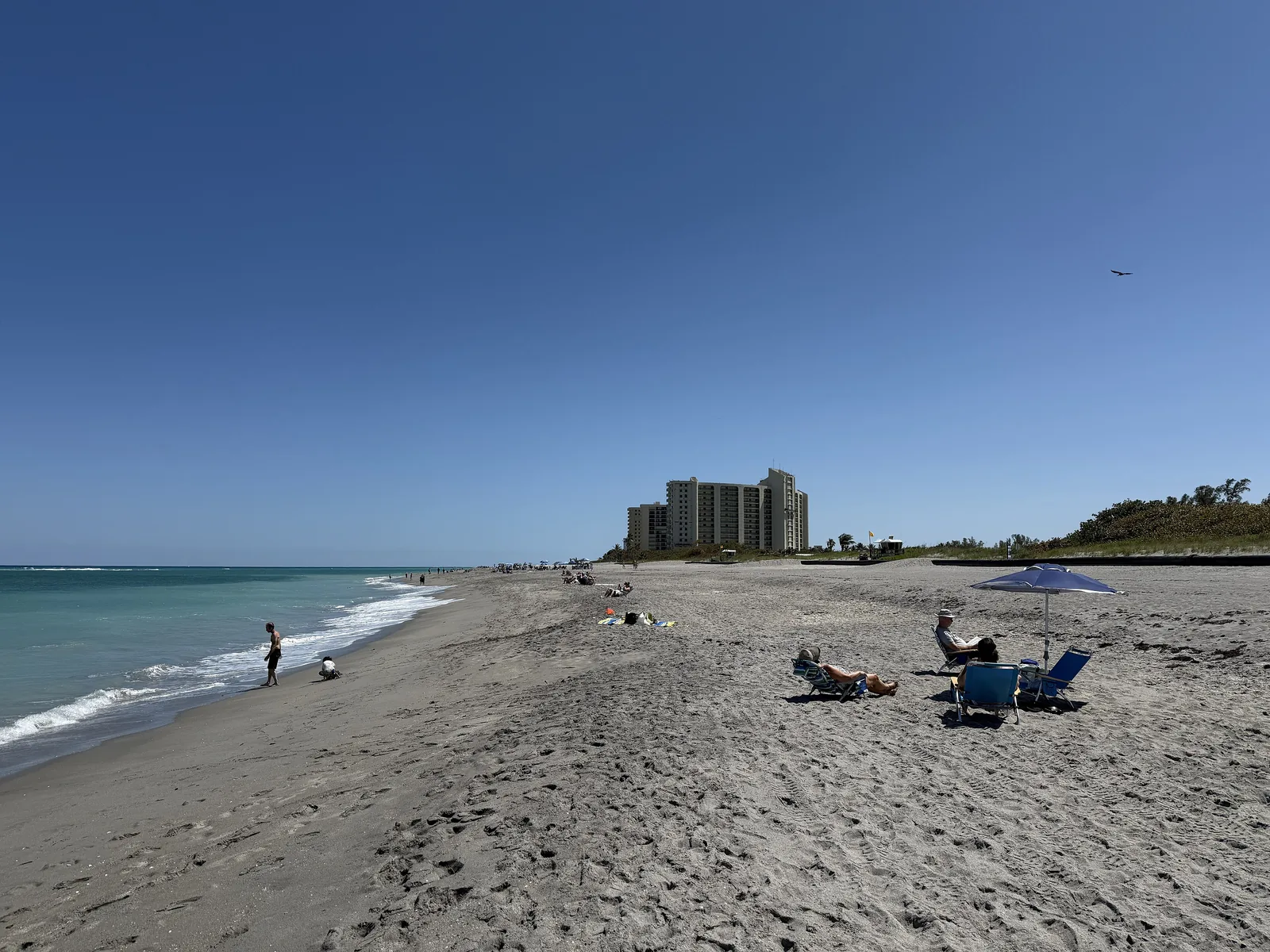
Jupiter's A1A beachfront, between the Intracoastal and the ocean in ZIP 33477, holds about 3,200 homes, 75% condos, around Carlin Park.
Last checked Oct. 9, 2026. Sources: the Town of Jupiter’s neighborhoods map, beaches page and GIS layers, Palm Beach County’s school zone open data, the Florida Department of Education’s 2026 school grades, Zillow Research and OpenStreetMap.
Jupiter’s A1A beachfront is the strip of town between the Intracoastal Waterway and the Atlantic, along State Road A1A south of the inlet. The town’s neighborhoods map shows it as a run of condominium and townhouse communities, all in the town’s District 3 police patrol area. In the town’s address layer it has about 3,200 residential addresses: 75% condos, 13% single-family houses and 12% townhouses. Carlin Park sits in the middle.
What this means for you
- High school: Jupiter High for every address. It earned an A from Florida in 2026.
- Home value: $678,534 in ZIP 33477 in August 2026, according to the Zillow Home Value Index.
- Nearest interstate exit: I-95 exit 87, Indiantown Road, about 5.5 miles by road.
Part of our Jupiter neighborhoods guide.
Where it is
The area runs along A1A from Jupiter Beach Park, south of the inlet, past Carlin Park and Ocean Way to the Jupiter Ridge Natural Area, with U.S. 1 and the Intracoastal on the west. Inlet Village is at its north end and the Bluffs and Admirals Cove are to the south.
Neighborhoods on the town’s map, largest first: Ocean Trail, Jupiter Ocean & Racquet Club, Bella Vista, Jupiter Bay, Ocean Walk, Sea Brook Place, Oceancrest, Jupiter Bay East, Jupiter Ocean Grande, Villas on the Green, Jupiter One, Olympus, Oceanside Terrace, Xanadu, Corinthians, Sea Palms, Park Plaza, Jupiter Key, Ocean Club, Ocean Cove, Jupiter by the Sea, Jupiter Bay Plantation Villas, Sunrise Ocean Club and Maisons de la Mer.
ZIP code: 33477 for every residential address.
Schools
In Palm Beach County’s open data copy of the School District of Palm Beach County’s attendance zones:
| Level | Most of the area (about 81%) | Ocean Trail (about 19%) |
|---|---|---|
| Elementary | Lighthouse Elementary (K-2, not graded) and Beacon Cove Intermediate (3-5): A | Jupiter Elementary: A |
| Middle | Jupiter Middle: A | Jupiter Middle: A |
| High | Jupiter High: A | Jupiter High: A |
Grades are Florida’s 2026 school grades; each name links to the school’s state report card. No public school is on the beachfront; Lighthouse Elementary is at 4750 Dakota Drive, Beacon Cove Intermediate at 150 Schoolhouse Road, Jupiter Middle at 15245 Military Trail and Jupiter High at 500 Military Trail. Check any address on the district’s Find My School map. More in our schools guide.
Home values
The typical home value in ZIP 33477 was $678,534 in August 2026, up 0.6% from $674,538 in August 2025, according to the Zillow Home Value Index. The index is a modeled typical value for the middle third of homes, single-family homes and condos together, not a sale price, and it covers the whole ZIP code, which also takes in the Bluffs, Admirals Cove and Inlet Village. Zillow’s figure for all of Jupiter was $704,677. More in our home prices guide.
Parks and beaches
From the town’s facility and beach pages:
- Carlin Park, 400 S. State Road A1A, a county park in the middle of the area (details)
- Jupiter Beach Park, 1375 Jupiter Beach Road, at the north end (details)
- DuBois Park, 19075 DuBois Road, on the inlet just north (details)
- Jupiter Ridge Natural Area, 1800 S. U.S. Highway 1, at the south end (details)
- Waterway Park, 3630 Indiantown Road, on the Intracoastal (details)
The town’s dog-friendly beach runs south from beach marker 57 at the Carlin Park property line to marker 26 at Marcinski Road. Palm Beach County Ocean Rescue guards parts of Carlin Park and Jupiter Beach Park. More in our parks and trails guide.
Getting around
- Interstate: I-95 exit 87, Indiantown Road, about 5.5 miles by road from the middle of the area; exit 83, Donald Ross Road, about 7.6 miles.
- Town Hall (210 Military Trail): about 3 miles.
- Airport: about 20.8 miles to President Donald J. Trump International Airport (PBI), the former Palm Beach International.
- These are distances on the OpenStreetMap road network, measured with the OSRM routing engine from a central address, not drive times.
- Bus: Palm Tran’s current schedule data lists no stop on the beachfront. Route 10 runs on Indiantown Road and Military Trail; see Palm Tran’s Route 10 page.
- Parking: the town says there is free public parking along the A1A beachfront.
More in our getting around guide.
Groceries and everyday stores
From OpenStreetMap:
- Publix, U.S. 1, at the area’s northwest corner
- The Fresh Market, East Indiantown Road, about two-thirds of a mile northwest
How we drew this area
This page counts every residential address point in the Town of Jupiter’s address layer (last updated in 2021, so newer homes are not counted) that falls inside the town’s shaded areas for the neighborhoods listed above, matched to the county’s copy of the district’s attendance zones on Oct. 9, 2026. Store and park locations and road distances use © OpenStreetMap contributors.
Frequently asked questions
What schools serve Jupiter’s beachfront along A1A?
Every address is zoned for Jupiter Middle and Jupiter High in the county’s copy of the district zone map. Most are zoned for Lighthouse Elementary and Beacon Cove Intermediate; Ocean Trail, at the north end, is zoned for Jupiter Elementary.
What ZIP code is the Jupiter beachfront in?
- Zillow put the typical home value in 33477 at $678,534 in August 2026, up 0.6% on the year. That figure covers the whole ZIP code, including the Bluffs and Admirals Cove.
Where can I park at the beach in Jupiter?
The town says there is free public parking along the A1A beachfront. Carlin Park, 400 S. State Road A1A, and Jupiter Beach Park, 1375 Jupiter Beach Road, are on this stretch.
Is the Jupiter beachfront a good place to live?
Here are the facts. The area has about 3,200 homes, three in four of them condos, along the ocean between the Intracoastal and A1A, with Carlin Park in the middle and a Publix on U.S. 1, about 5.5 miles by road from I-95.
Have your say